Digitising Patterns of Power (DPP):
Peripherical
Mountains in the Medieval World
DPP has been accomplished as a Digital Cluster Project of the Institute for Medieval
Research (IMAFO) of the Austrian Academy of Sciences,
funded within the programme “Digital Humanities: Langzeitprojekte zum kulturellen Erbe” of
the Austrian Academy of Sciences in Vienna,
Austria.
Duration: 1 January 2015-31 December 2019
PI: Doz. Mag. Dr. Mihailo St. Popović (Mihailo.Popovic@oeaw.ac.at)
DPP Mapviewer
The DPP Mapviewer cannot be accessed at the moment due to technical reasons, because a new version is under construction at the moment. The new version will bear the name “Maps of Power” and be online in autumn 2023. For further Information:Our Scholarly Results, Publications and Output:
- For scholarly publications on our DPP Case Studies, their data structure, the
applied methodology and the evolved technical framework
please do cf. https://dpp.oeaw.ac.at/index.php?seite=Repository
(here Papers) with a remarkable amount
of free to access pdf-files of the respective articles of our project team.
- For a comprehensive publication on our DPP Case Studies, technical aspects (Software Engineering and Geocommunication) as well as related projects in Digital Humanities please do cf. our DPP edited volume “Power in Landscape. Geographic and Digital Approaches on Historical Research” (publishing house “Eudora Verlag Leipzig”, Germany). Its content and introduction may be accessed freely via: https://eudora-verlag.de/wp-content/uploads/Inhalt_Power_in_Landscape.pdf and https://eudora-verlag.de/wp-content/uploads/Einleitung_Power_in_Landscape.pdf

Our Dissemination
- In order to lay open our workflow, project tasks and dissemination via talks, workshops and congresses from 2015 to 2019 a quarterly DPP Newsletter (in March, June, September and December) had been established. Please cf. our DPP Newsletter Archive for further information: https://dpp.oeaw.ac.at/index.php?seite=Newsletter Since January 2019 this newsletter has been succeeded by the HistGeo Newsletter (https://histgeo.oeaw.ac.at/newsletter/).
- With the aim to communicate scholarly results of DPP and related projects to national and international scholars, students as well as the interested public, a quarterly DPP Lecture Series had been initiated in January 2017 in Vienna, which is continued by the quarterly HistGeo Lecture Series in Vienna since January 2019. Please cf. https://histgeo.oeaw.ac.at/lectures/
- Please cf. on our scholarly talks and activities from 2015 until 2019: https://dpp.oeaw.ac.at/index.php?seite=activitiesArchive and https://dpp.oeaw.ac.at/index.php?seite=Activities
Our Backend
We have used the open-source Database System OpenAtlas (based on the CIDOC-CRM) for our data acquisition and processing in DPP. DPP has among other projects substantially financed and supported the development of OpenAtlas (cf. https://openatlas.eu/projects). The developed database software is free for download via: https://github.com/DigitisingPatternsOfPower/OpenAtlasOur Frontend
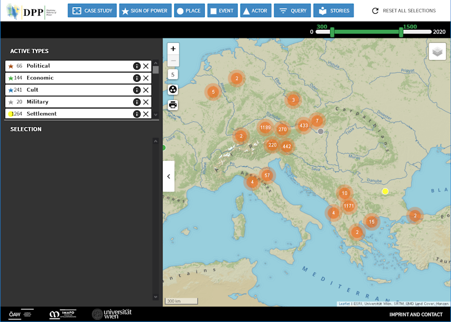
- Our web application (the so-called DPP Mapviewer) enables the user to browse the entire data of DPP freely online: https://dpp.oeaw.ac.at/portal/
- Via additional map layers in the web application published by the Long-Term Project “Tabula Imperii Byzantini (TIB)” of the Austrian Academy of Sciences (Institute for Medieval Research; https://tib.oeaw.ac.at/) DPP’s data is connected to the printed volumes of the TIB and its headwords, when it comes to the territories of the Balkan Peninsula and Asia Minor.
- Selected, digitised charters of the DPP Case Study “The Historical Region of Macedonia (12th-14th Cent.) – The Transformation of a Medieval Landscape” have been annotated in cooperation with the Hilandar Research Library (HRL) of the Ohio State University (https://library.osu.edu/hrl) and the software Recogito developed by the project Pelagios (https://recogito.pelagios.org/) and integrated into the web application, thus creating a best practice in this field.
What DPP offers:
- A rich historical and archaeological data collection (data entries in English)
- Various possibilities of comparison between the Case Studies via the DPP web application
- Interpretation of the analysed sources (e.g. Signs of Power) via the DPP web application
- Geocommunication of content – Visualisation and queries in the DPP web application under the license CC-BY and map export function for everybody
- Underpinning of new scholarly interpretations by using DPP data
- Development of a “best practice” in this field of research
- Technical sustainability within the framework of the Austrian Academy of Sciences
- A sophisticated, documented and comprehensible overall package in terms of the Humanities, Software Engineering and GIScience
What DPP does not offer:
- No general approach towards “place”, “space” and “time” for all medieval sources, but specifically for the research question of DPP, thus offering an incentive for future related projects
- No regressive modelling of past landscapes in 2D or 3D (but certainly a first approximation, cf. for example the map layers DPP and DPP modern in the web application or the definition of historical regions as first steps), which is expandable in follow-up projects
- No visualisation of climate data (after thorough discussions with the experts J. Lutterbacher and E. Xoplaki the respective data sets proved to be too inaccurate or insufficient)
- No reconstruction of historical watercourses (approach by V. Winiwarter as in the case of the Danube due to the lack of sources and scientific data for individual case studies impossible)

Case Studies
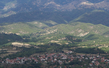
In four Case Studies the project will investigate patterns of power in selected areas of the european middle ages....learn more

Geocommunication
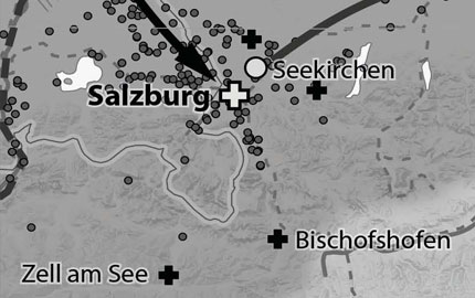
In cooperation with the University of Vienna, the Case Studies can be experienced online via a geovisualisation....learn more

Digitalisation
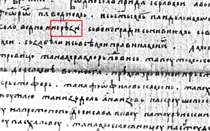
In two case studies, manuscripts and editions will be digitized, geotagged and connected with the geovisualisation....learn more

Repository
All the collected data will be searchable via an online database. Shapefiles, KML and articels can be downloaded....learn more
-
...learn more

Case Studies
In four Case Studies the project will investigate patterns of power in selected areas of the european middle ages. -

Geocommunication
In cooperation with the Instiute of Geography at the University of Vienna, the Case Studies can be experienced online via a geovisualisation....learn more -

Digitalisation
In two case studies, manuscripts and editions will be digitized, geotagged and connected with the geovisualisation....learn more -

Repository
All the collected data will be searchable via an online database. Additionally, shapefiles, KML and articels can be downloaded....learn more


